


US military personnel have continued to publicly share workout data from bases across the Middle East through a fitness app.
US military personnel have continued to publicly share workout data from bases across the Middle East on Strava, a fitness app that records users’ exercise routines, months after US Central Command (CENTCOM) imposed strict geolocation controls across the region.
A Stars and Stripes review found repeated activity linked to installations in several countries, potentially allowing observers to map frequently used routes, daily routines and areas where personnel gather.
Publicly available entries also included photographs of people wearing US Army fitness clothing, images of military-style equipment and, in one case, a picture taken inside a base exercise facility.
CENTCOM declined to say whether the publicly accessible Strava posts complied with its geolocation policy, how the restrictions were enforced, or whether any personnel had been disciplined for violations.
The command said it does not discuss force-protection measures for operational security reasons.
The report followed a Sky News investigation that identified more than 1,300 Strava users sharing workouts from US bases across the Middle East.
Activity was posted from Jordan’s Muwaffaq Salti Air Base one day before a July attack killed three US troops, although no evidence links the strike to the app’s data.
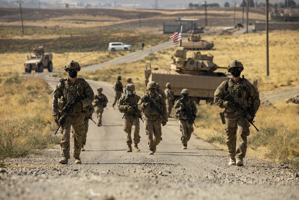 US Army soldiers make their way to an oil production facility in Central Command area of responsibility. Photo: Spc. Jensen Guillory/US Army
Wider Concerns Over Personal Devices
The Strava disclosures add to broader concerns about the risks personal devices pose to US military operations.
Last month, US officials were reportedly considering tighter cellphone restrictions in the Middle East, including requiring some deployed personnel to surrender their devices.
During the same July attack on Muwaffaq Salti Air Base, a US service member recorded troops sheltering inside a bunker using Meta smart glasses. The footage was later posted online.
Following the incident, CENTCOM Chief Adm. Brad Cooper warned that publicly shared images and videos could reveal where Iranian missiles had landed and the damage they caused.
The Financial Times previously reported that telecommunications records and commercially available location data had been used to track US personnel and contractors across the region during the conflict.
