


The UK Ministry of Defence has awarded information technology firm CGI UK a contract for software to enhance the military’s satellite operations.
The UK Ministry of Defence has awarded information technology firm CGI UK a contract for software to enhance the military’s satellite operations.
The 65-million-pound ($84 million) deal will produce “Borealis,” a command, control, and data processing solution that will assist in the monitoring and protection of satellites employed under the British armed forces and space agency.
The system is set to deliver a “better understanding” of the space domain and bolster the decision-making of government leaders and commanders, both in the country and abroad.
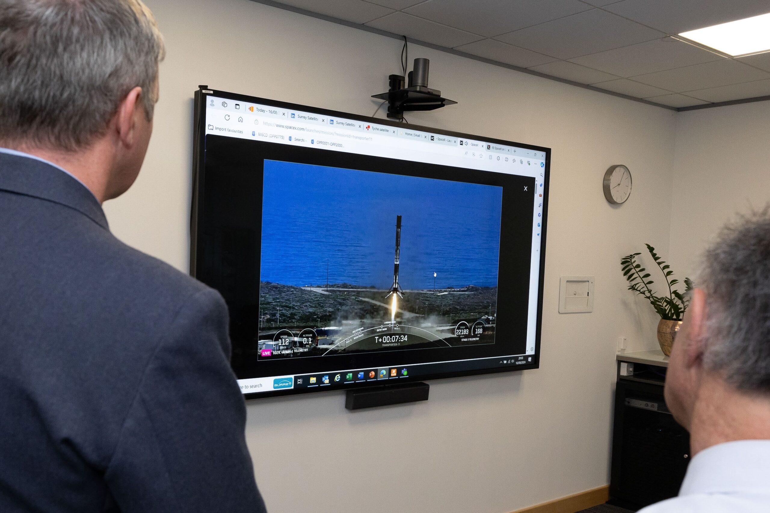 Officials watch as the UK's first military satellite "Tyche" was being launched from from Vandenberg Space Force Base in California. Photo: DE&S via X
CGI will facilitate work for five years and integrate the software at the National Space Operations Centre, which is London’s developer and management arm for defense space surveillance and protection capabilities.
“The use of space is crucial for our economy, prosperity, security, and defence, but assured access to space is becoming increasingly contested by adversaries and congested by users and debris,” UK Space Command’s Maj. Gen. Paul Tedman explained.
“Borealis is an innovative system that draws together multiple inputs to enhance the UK government’s understanding of the wide-ranging activity on orbit, allowing the UK to protect not just our own space assets, but those of our allies and partners as well.”
Constellation Control Tech and Imaging Satellite
London signed a similar contract in February to develop satellite constellation control systems for the British Armed Forces.
This separate effort will manufacture equipment to consolidate, process, and track system data of in-service military satellites, further advancing the military’s space-related tasks for observation and defense.
Also in February, the UK partnered with Airbus to design and build imaging satellites to expand warfighters’ space-based intelligence, surveillance, and reconnaissance capabilities.
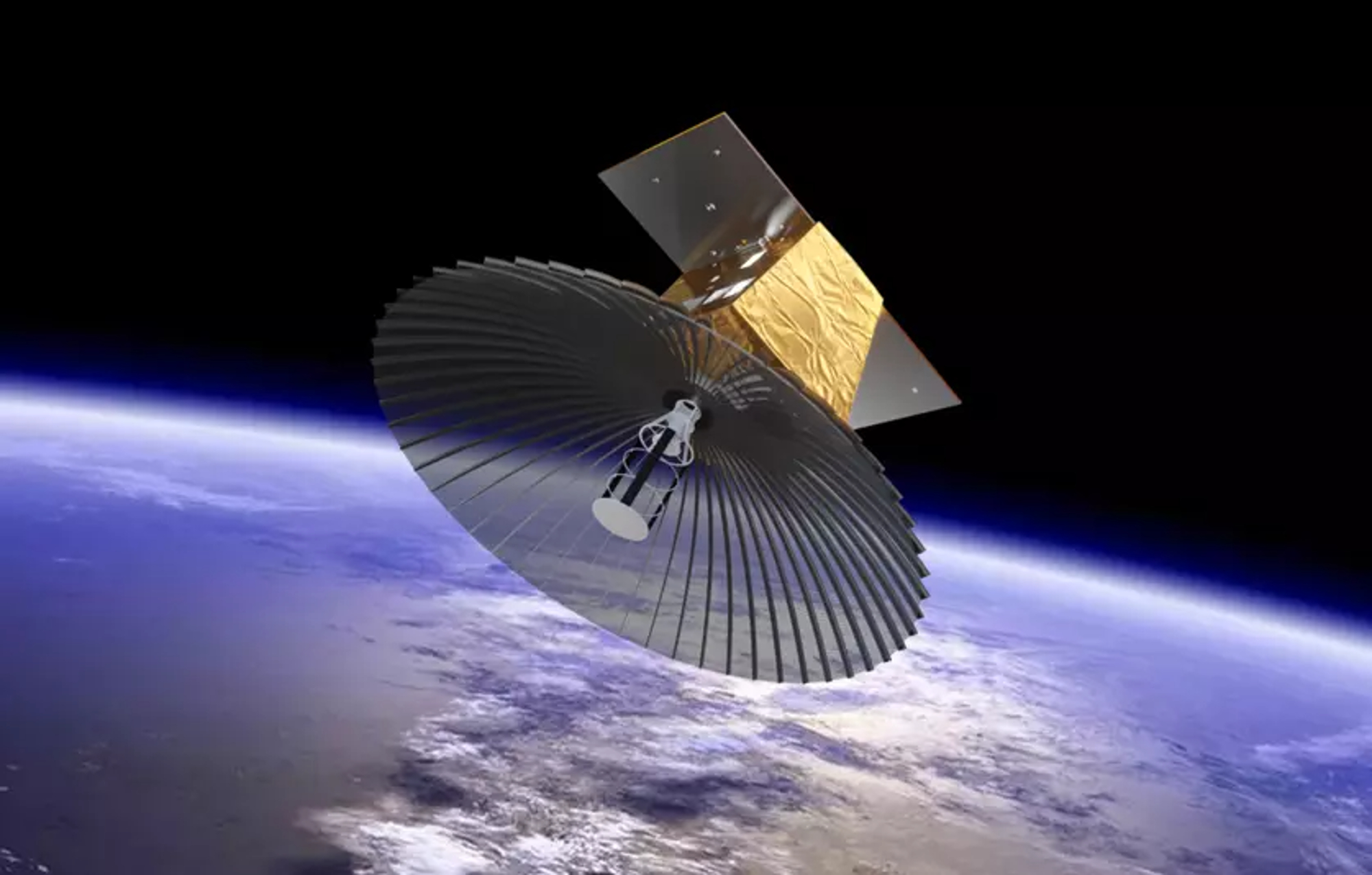 Artist's rendering of the UK military's Oberon intelligence satellite. Photo: Airbus